Hello again NYC. Glorious weather over here!
ɕ
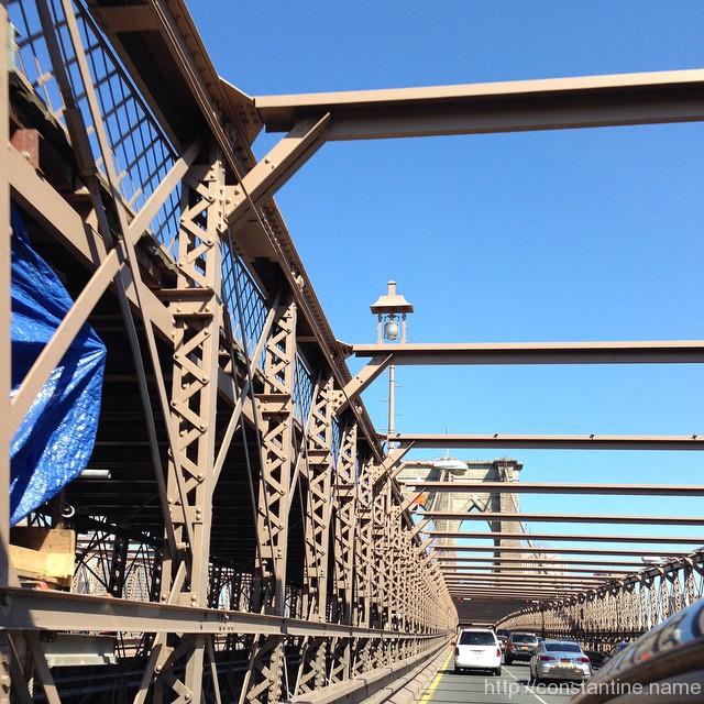
Hello again NYC. Glorious weather over here!
ɕ
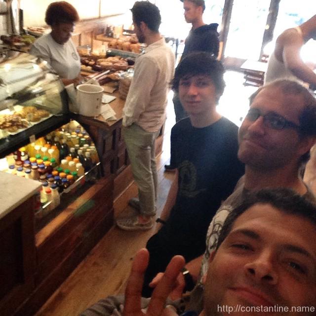
Food first, then off to East River Park.
ɕ
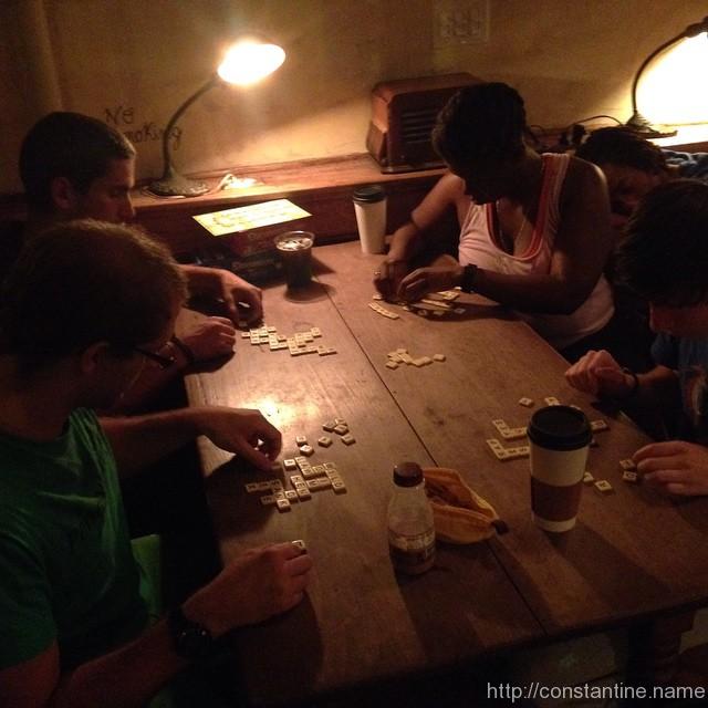
Post-training cafe play at Manny’s in Brooklyn. The Lancaster Parkour post-training chocolate milk tradition continues!
ɕ

Creme Brulee doughnut… waaaaaaaaaaaaaaat. yummy.
ɕ
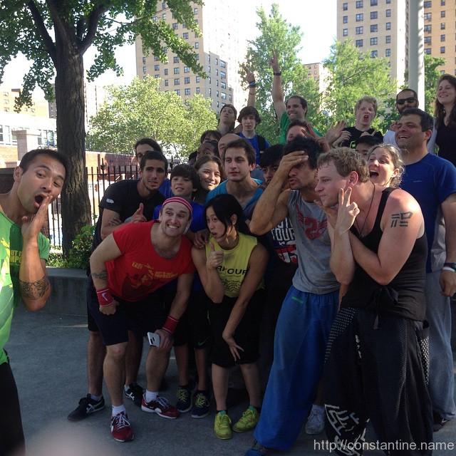
In the bag. What an awesome group of people. Spirit all around…. what heart!!
ɕ
NO. SLEEP. ‘TIL BROOKLYN!!!!!!!
ɕ
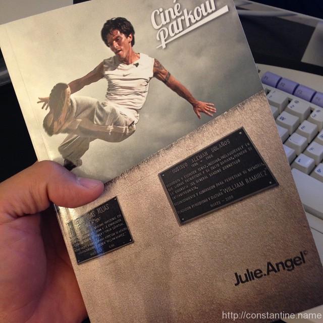
This arrived at my office while I was away… awesome work Julie! Thank you so much for all the effort that went into this book.
ɕ

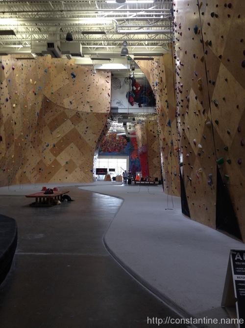
Some videos I took in April 2015 when I was last up in Somerville. This certainly isn’t a great answer to “what is parkour” in the global sense. But it will give you an idea of what I was working on when I had several hours to play on some scaffolding when I had unstructured time to just train.
ɕ
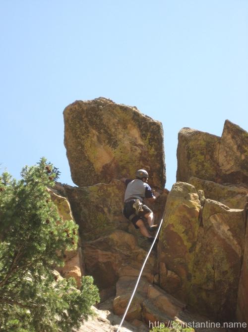
This was the incredible cherry-on-top for this entire Colorado adventure. Hawk-Eagle Ridge is this side, side ravine tucked up behind the Wind Tower just inside the beginning of Eldorado Canyon.
We took this photo (below) on the way out. The tall rock, on the right, closest, is the Wind Tower. So you hike up to the right, between the Wind Tower, and the next mass of rock (on the left in the photo.) Hawk-Eagle Ridge is the crumbly-looking, sloped wall in the middle of the photo. So it’s “the first lefthand ravine” as you go behind the Wind Tower.
…but we didn’t know that going IN. Instead, we didn’t notice this huge, house sized block of rock at the very bottom of the Hawk-Eagle Ridge ravine… it didn’t look like a block that had fallen in the ravine; The ravine was basically not-a-ravine as you hiked past this huge block. So we hike to the SECOND lefthand ravine and busted our *sses slipping our way up this horrid scrabble of avalanching rock, through all sorts of scrub bushes and piles and piles of poison. I expected to step on a snake or three at any moment.
Then we realized we were on TOP of Hawk-Eagle Ridge requiring us to do this sketchy rappel. Or rather, we rigged up a good rappel, and then Mike lowered the gear and rappelled off a couple of (what looked like) ratty old shoe laces. (See the two photos with ropes below.)
The second and third photos below, are the view of the Basile in the main part of Eldorado canyon as we climbed up around ONTO Hawk-Eagle. That’s a road down there at the bottom of the Bastile.
We eventually found a spot of shade at the base of this neat little climb (in the third and fourth photo.) In the second photo, you’re looking back out of Eldorado canyon, so you can get a feel for how we’re just sort of out of sight. The ravine was like hiking back in time. It was clear no one had be up here for decades. This was only the second time in the entire trip that I felt like we were out doing something not normally done. Everywhere else we climbed, it was always well-beaten trails and clearly obvious where to climb; This one was a real adventure. Albeit, a low-height, pretty-near-the-Eldo-access-road adventure.
Here, Mike had scrambled to the top and setup a top-rope anchor. We each took turns scrambling up this neat route. As I’ve said many times, every climb in Colorado had very different rocks. This one was blocky, but the rocks were very natural — normally, oft-climbed routes have their rocks polished pretty smooth and clean to the touch. This rock was very coarse and had a texture that rubbed off on your hands. There was also a very dry moss on a lot of the rock. Overall it was a very different tactile feel. Generally, you get used to your shoes “pasting”, (meaning the flat sole of the shoe has enough friction on plain rock face that you can just stand on very steep faces.) But this rock didn’t paste at all, because there was this every-present layer of fine “dirt” that rubbed off on your shoes (and hands) making everything this unusual sort of dry-slippery. In reality, it was simply the rock naturally weathering, untouched by climbers for who-knows-how-long. (At least, on the routes we climbed.)
Mark — the guy in the white shirt — had opened routes here (aka, “been the first ever to climb”) about 30 years ago. Mike and I spent a lot of time enthralled, listening to stories, and hearing how “these [full-grown] trees weren’t here last time!” I felt it was quite a privilege to get a belay from Mark.
As always, it’s over all-too-soon, and the hike-out commences…
…and I very much like the fact that I get to end my entire series of Colorado posts with a great shot of Mike and Mark!
Cheers gentleman! It was a grand adventure!!
ɕ

A great example of some “roadside cragging”, as they say. You park, hike a short distance and get your climb on!
We got to the parking lot super early and got the rock-star parking space next to the trail. An hour later, the entire area was swarming with fair-weather bicyclists, walkers, joggers… you name it. By then, we were up on the rocks…
The first climb was this neat little two-short-pitch thing. Chilly in the shade, and it led out onto the most dome-like part of the rock. There was this one, long 45 degree sloping crack, on a near vertical face… you could just get enough edge or your shoe in it to caaaaaarefully walk up along the crack. Almost all of the climbing was just sort of trying to “palm” the general features of the rock.
Later, we moved to the left to this sketchy, run-out (long distances of climbing for Mike before he could set gear for protection) monster blocks thing.
Anecdote: A father-son duo that we were talking with, bailed off some gear. (Meaning they gave up on a climb, rappelled and left their gear on the rocks.) So Mike spent about 45 minutes doing this insane down-climb, on slimy wet rocks, just to then wriggle out under this huge roof to pick up some “booty”. (Slang for free gear you find left behind by others.) o_O
Views from the top, looking back down to the road. I think the scariest part of the day was when we walked out, and had to watch the NON-climbers… in sneakers with no gear, dragging their girlfriends up the big blob of rock in the second photo (below). I seriously thought they were going to fall. We hussled up and left because we didn’t want to see it.
ɕ
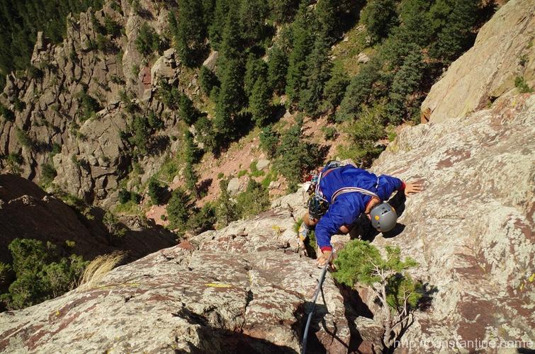
We climbed Red Garden Wall, in Eldorado canyon as a sort of victory lap after we returned from Lumpy Ridge / Estes Park.
The deep notch, in the closest ridge, is the entrance to Eldorado Canyon. Just inside the entrance to the canyon is the tiny town of Eldorado Springs, and a short drive further takes you into the state park.
The approach is a hike up into one of the side ravInes…
At the base of the wall, you make a short access climb up a notch that finishes as a short chimney. There were two climbers in front of us, so there are a couple shots of another climber going before us…
From there we walked along an interior sort of cleft — with the wall on both sides of you. There were climbable routes all over once you ascended the access climb. We picked a 2 pitch route that had a huge variety of rock and features. Crumbly parts where everything was loose, smooth almost slab areas, and huge angular blocks near the top. Pine trees right in the climbing lines, wild flowers, moss. This climb had everything, including a really old — not dead yet! — gnarly tree as a belay-station anchor…
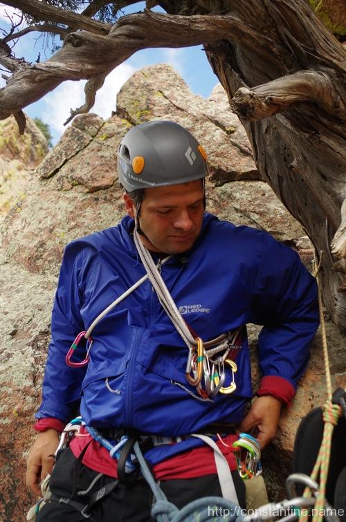
At the summit, we were atop a tremendous tower! The views to the east showed Boulder and Denver just visible. And there was some debate about how exactly we were to get off this thing…
Eventually we figured out the exit; A short rappel, a walk down around the tower to the other side, and then a spectacular rappel out of this enormous notch…
ɕ
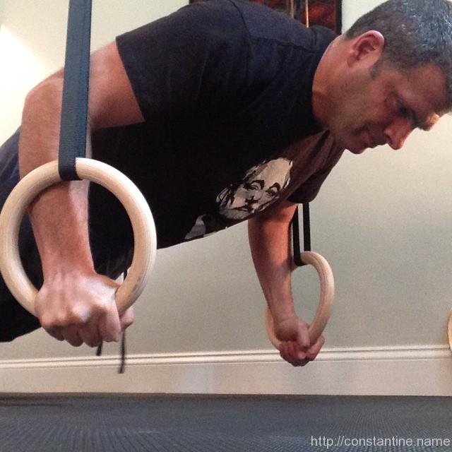
So many people have been talking about rings recently… we are upping our push-up game with new toys! Yet another great use for a pullup bar. Also. wow, this is tough…
ɕ

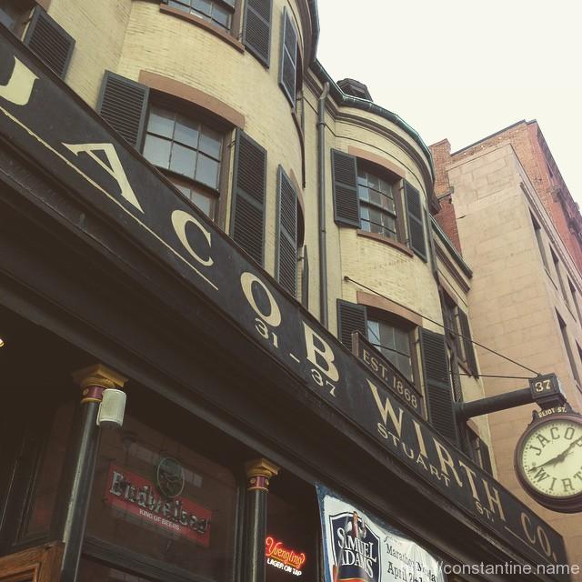
I’ve heard good things about the food (German). We shall see!
ɕ
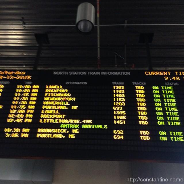
Lowell bound for brunch with family!
ɕ
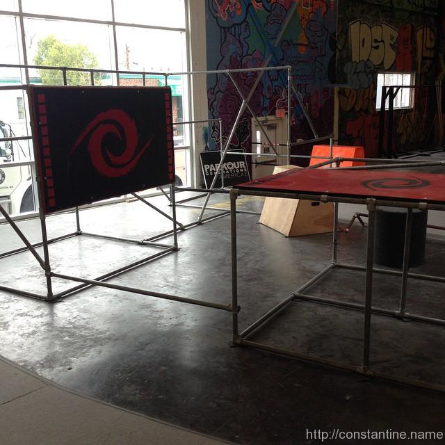
I spy stuff…
ɕ
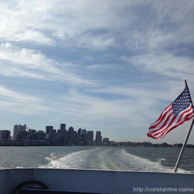
What an afternoon for a cruise. #Hingham bound!
ɕ
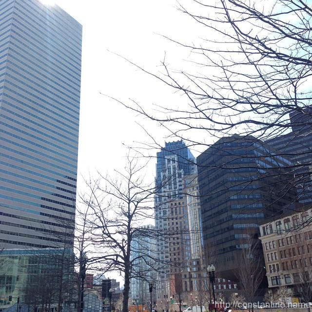
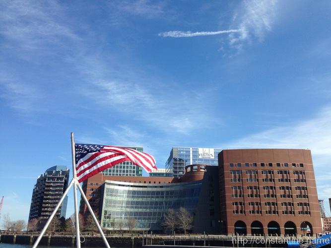
Atlantic Ave heading to the ferry to cruise down to Hingham. GORGEOUS day!
ɕ