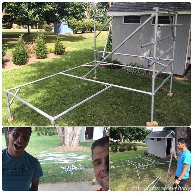
Back home, stripped scaf down and building in the lawn. Rails balance, a waterfall and some random angles. Lazy parkour Saturday!
ɕ
Back home, stripped scaf down and building in the lawn. Rails balance, a waterfall and some random angles. Lazy parkour Saturday!
ɕ
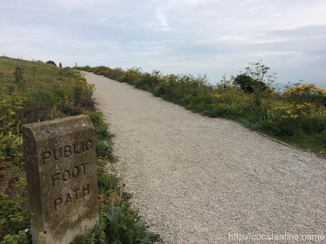
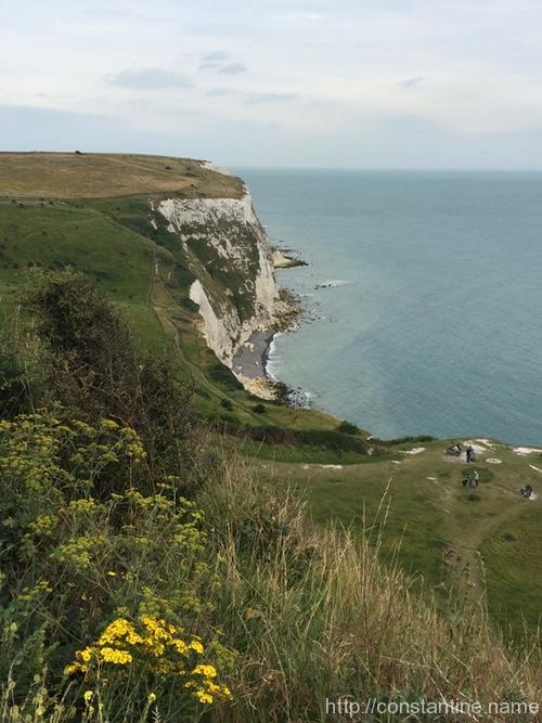
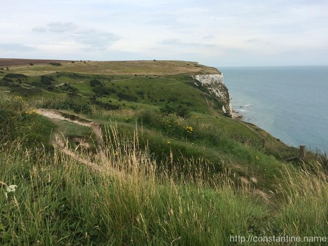
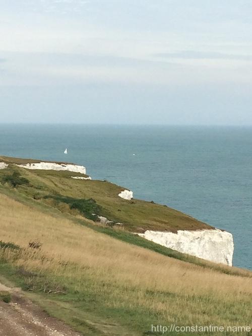
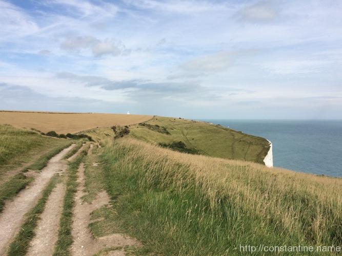
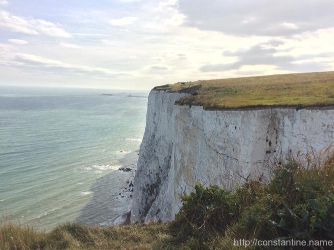
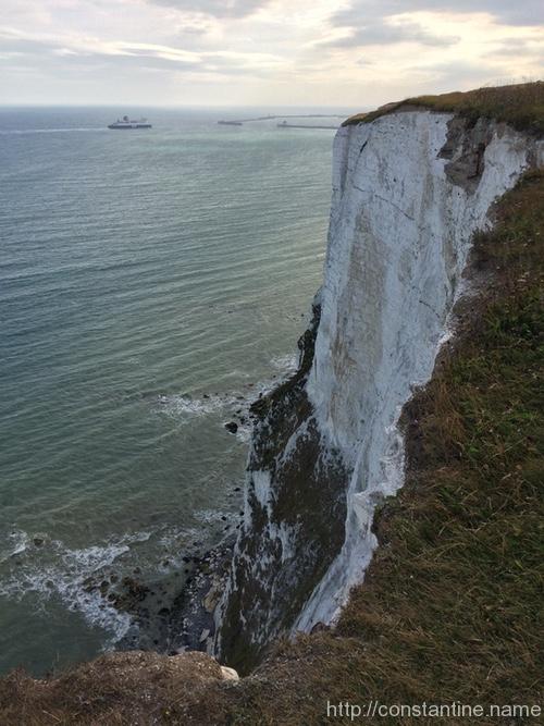
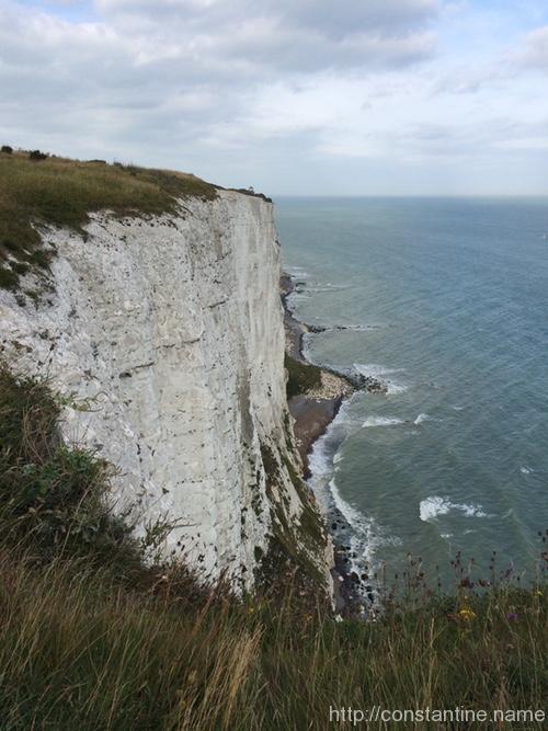
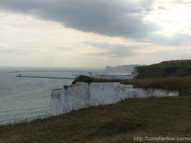
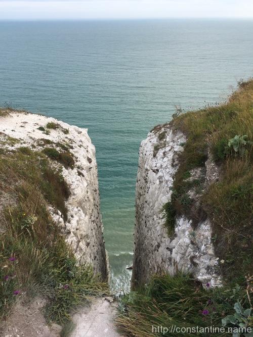
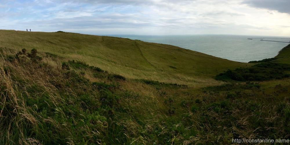
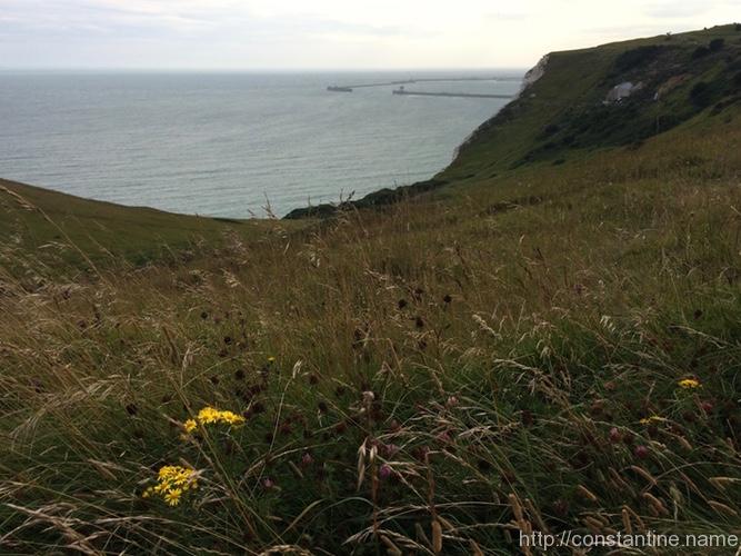
An album of the best photos from the Cliffs of Dover.
ɕ
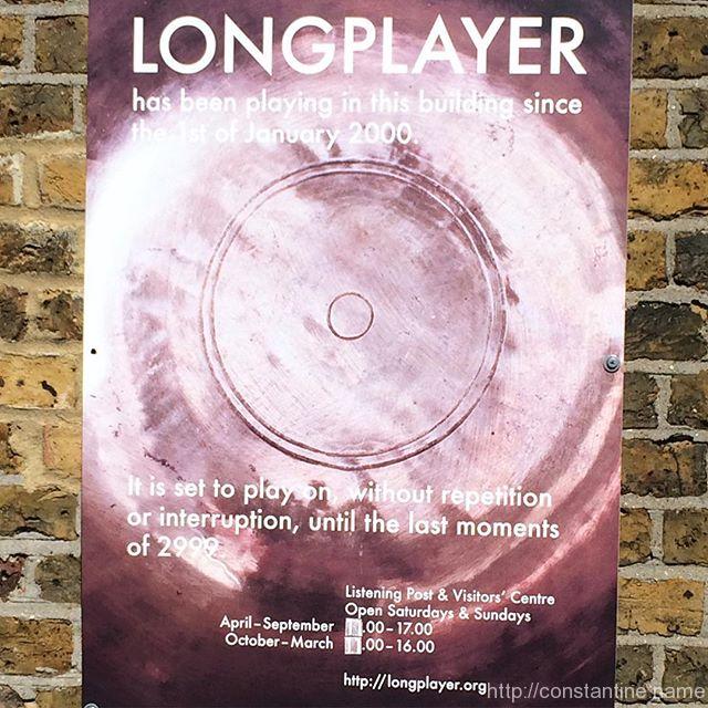
While I was wandering around Trinity Buoy Wharf (where the Chainstore parkour facility is located) I discovered this sign. A musical instrument designed to play, without interruption or repetition, for ONE THOUSAND YEARS ?! Yes, seriously. Check out http://LongPlayer.org
ɕ
ɕ
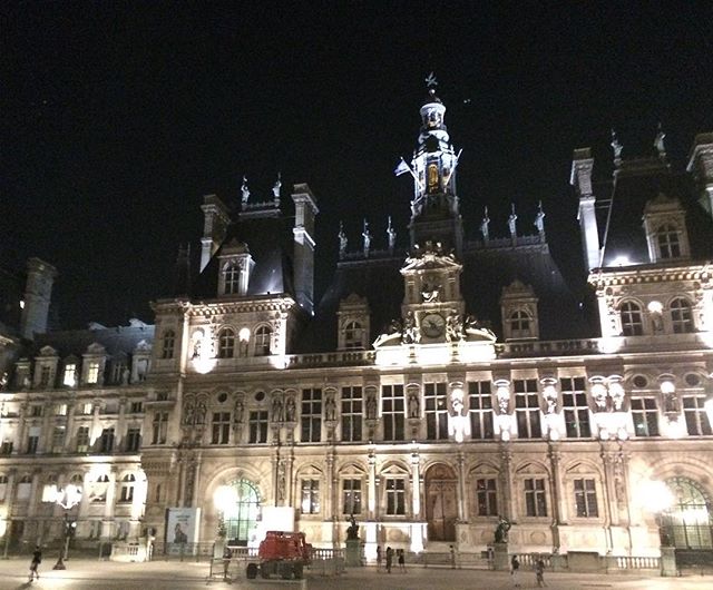
Last building… this one is simply neat looking :^P
ɕ
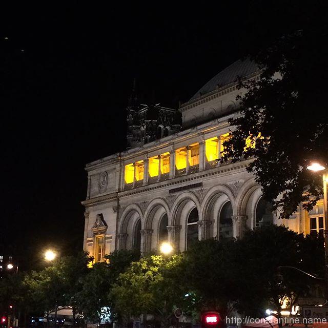
Some random ‘building’? Sorry… not sure which one, but the entire city is lined with incredible architecture.
ɕ
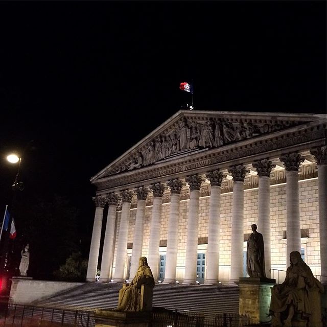
Palais Bourbon! …oh wait sorry, wrong bourbon :( This is instead, ‘simply’ a government building.
ɕ
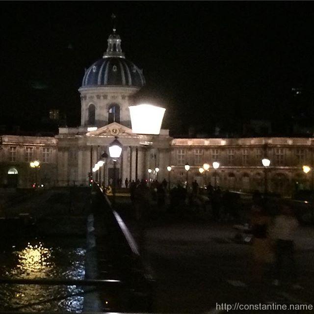
Looking across the Pont des Arts (the famous bridges where lovers lock padlocks and toss the keys into theSeine) towards the Institut de France. An astounding feat of snap-photography from a moving bus with a tiny phone camera!
ɕ
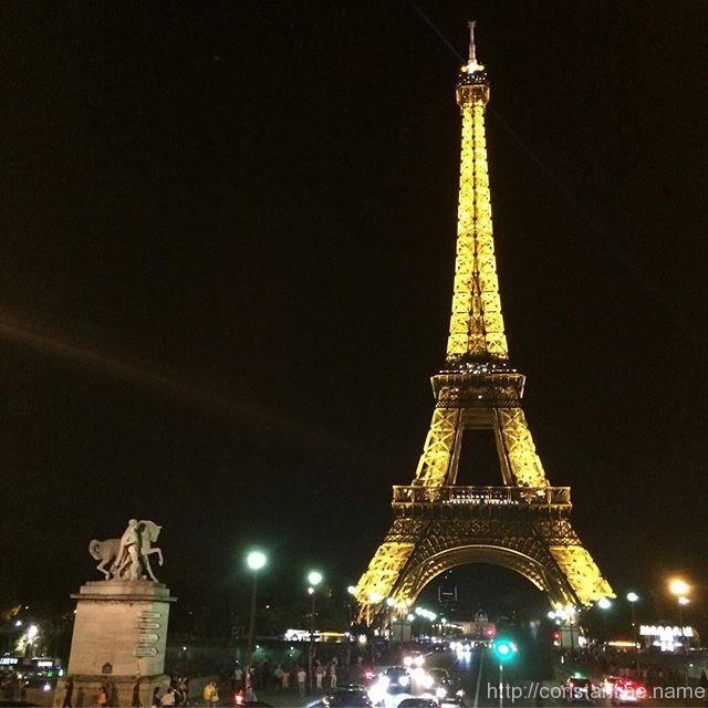
View across the Pont d’Iéna (that’s a Cap-i ;) over the Seine. Paris bustles by night!
ɕ
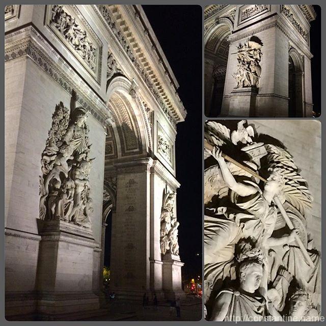
Arc de Triomphe. Great wikipedia article on it… history, tomb of the unknown soldier, etc
ɕ