ch -ch-ch-changes! (At Baked in Emmaus.)
ɕ

ch -ch-ch-changes! (At Baked in Emmaus.)
ɕ
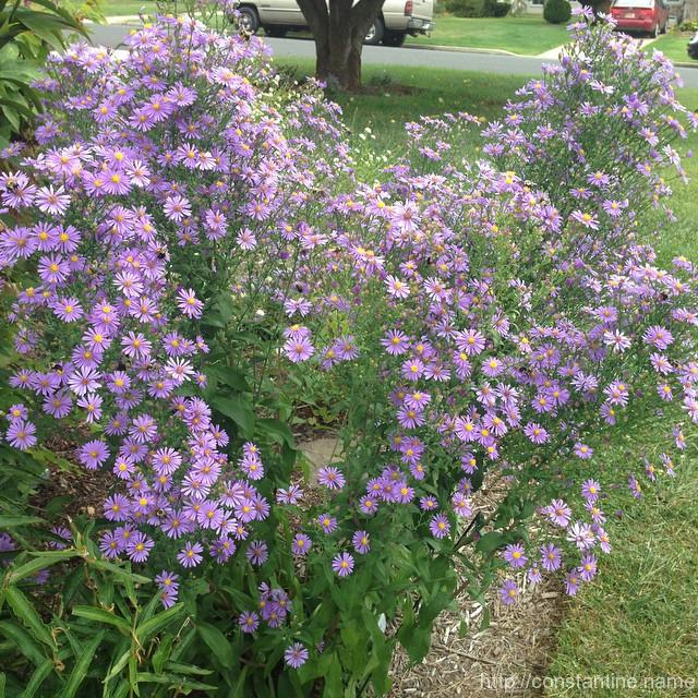
Aster. Party palace for honeybees. Some were just passed-out sitting on a flower… w other bees like, “u gonna finish that?
ɕ
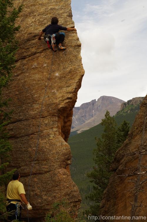
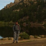
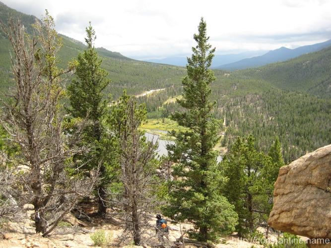
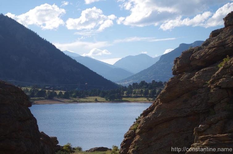
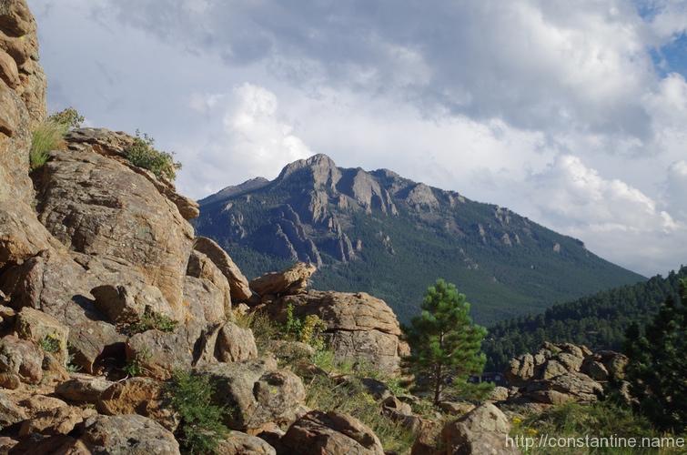
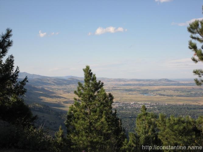
Out of about 2,000 photos that Mike and I took, I think this is the only one that shows both of us. Here are a few more non-climbing shots showing just how incredibly awesome the scenery is.
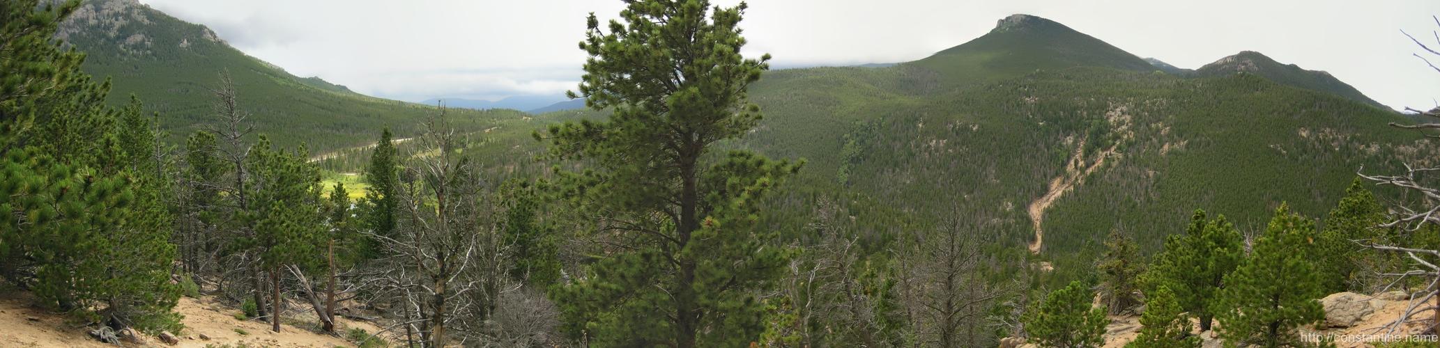
Links to the full size, wide panorama.
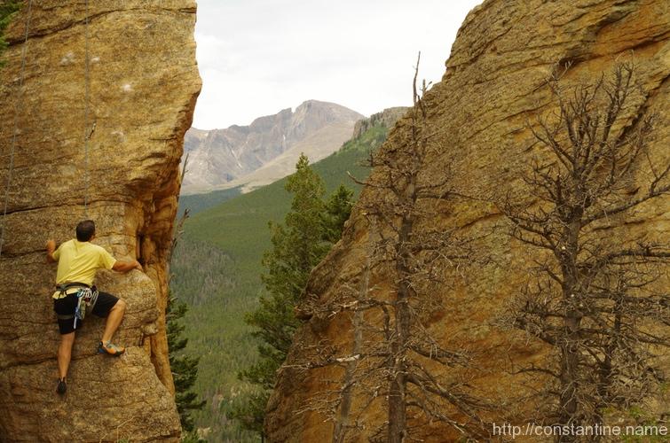
Ok, well, one more climbing photo. I’m sorry, but this photo is just off-the-charts awesome.
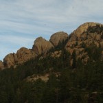
When you park at Lily Lake, the first thing you see is this hillside that looks like Godzilla. We arrived before the sun was fully shining into the valley, and it was eerily quiet. it’s the perfect first-look when you’re about to hike into something called “Jurassic Park”.
Just to the east(left) of the epic “Edge of Time” route, lies “East of Eden”. I had given up on the hardest part of Edge of Time, very near the bottom, and so I shuffled over to East of Eden. From East of Eden I climbed up above the crux and worked my way back over to finish out the Edge of Time.
True story bro’: I started up one of the trees at the base of East of Eden for about 8 feet, and one of the guys we were climbing with goes, “Craig, I love your attitude!” (Because I refused to give up on getting to the top of the Edge of Time.) Halfway up the tree I shouted back, “up is UP!” …all of which I thought was hysterical, because if you know me well, you know that generally you’d say I have a “bad attitude.” What can I say, Colorado brings out your best!
words words words photos words words Awesome words words Spectacular words words ‘Nuf said.


ɕ
There’s a great roadside, sport climbing area across the street from Mary’s Lake in Estes Park.
On the Monday that we arrived in Estes Park, we stopped at the local gear shop, and then went here to do some climbing. These are just a couple more beautiful photos that Mike took while we were hanging out.

ɕ
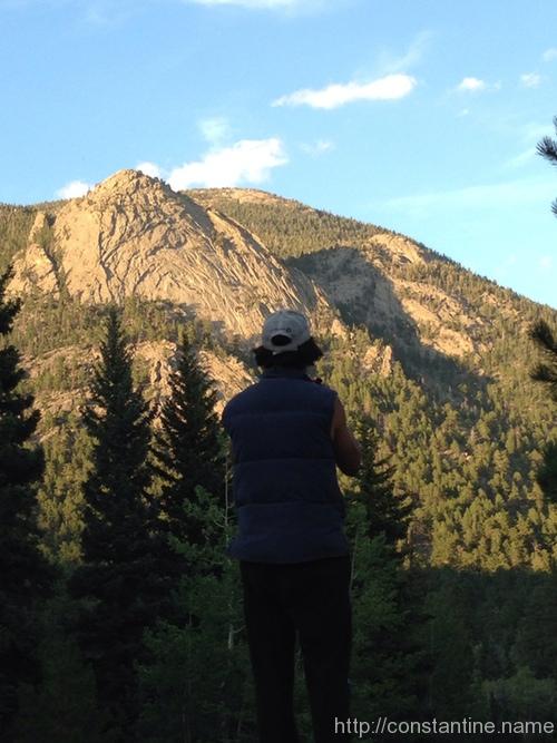
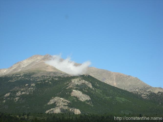
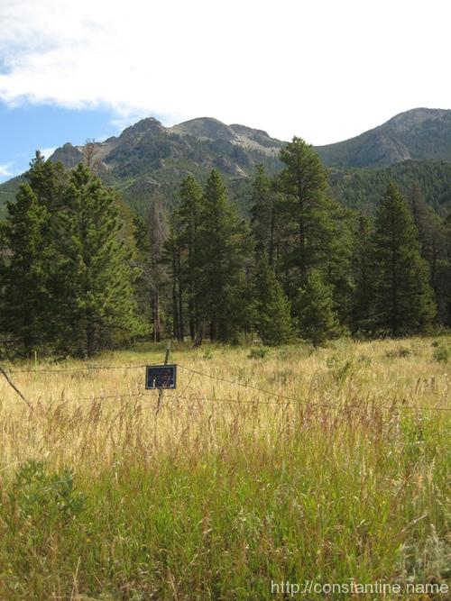
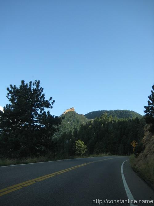
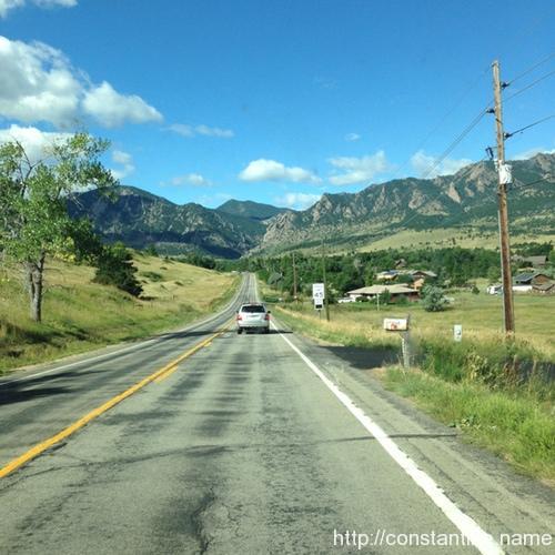
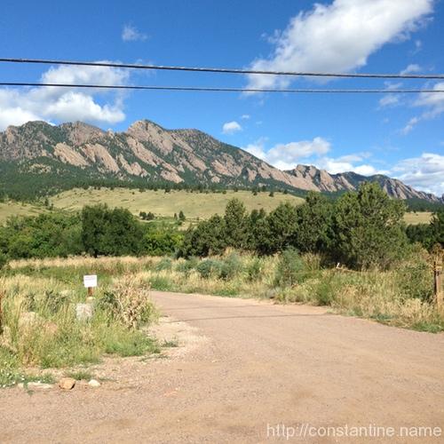
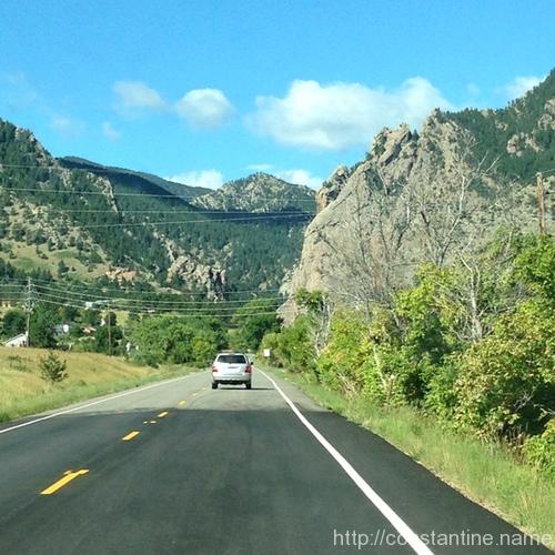
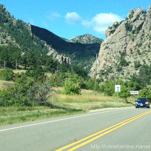
A few more photos from our drive up/into Estes Park Colorado.
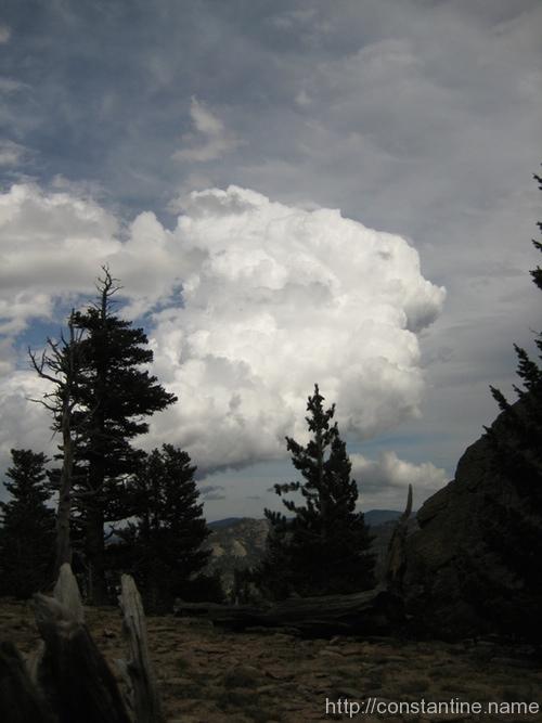
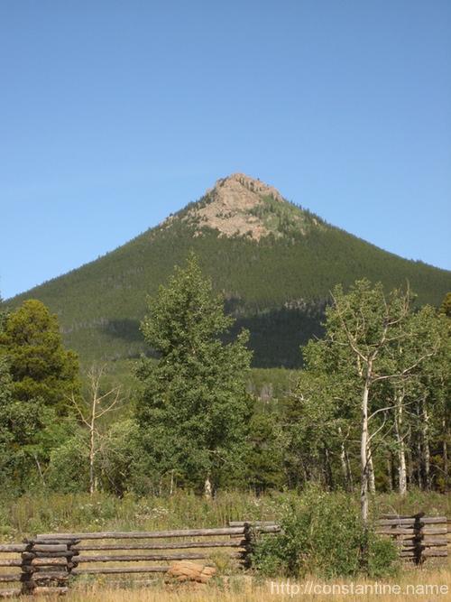
We rolled past this spectacular peak just after coming up out of the canyon on Route 7. It’s not a volcano, there’s just a perpetually forming cloud stuck to the shoulder as the wind blows steadily from the left.
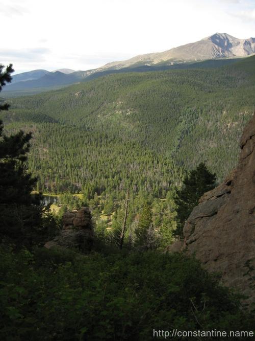
Route 7 also rolls past Long’s Peak, which has the world-class climbing feature called “The Diamond” (the slightly darker, diamond shaped area of rock on the right.) But whichever way you swivel your head, the views are majestic!


This last shot is of Mike, who ran out of the van and jumped upon the bridge railing as we were driving down the access road to our campsite in RMNP. It turns out, this beautiful hunk of granite is McGregor slab. We had intended to climb its very accessible 5.7-8 routes, but that’s another story.
ɕ
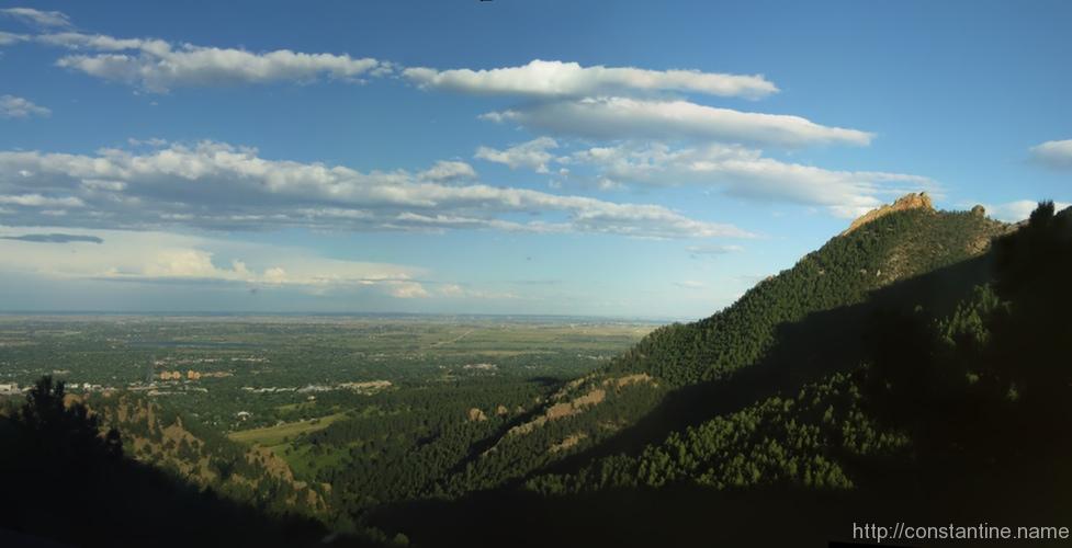
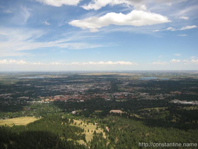
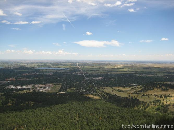
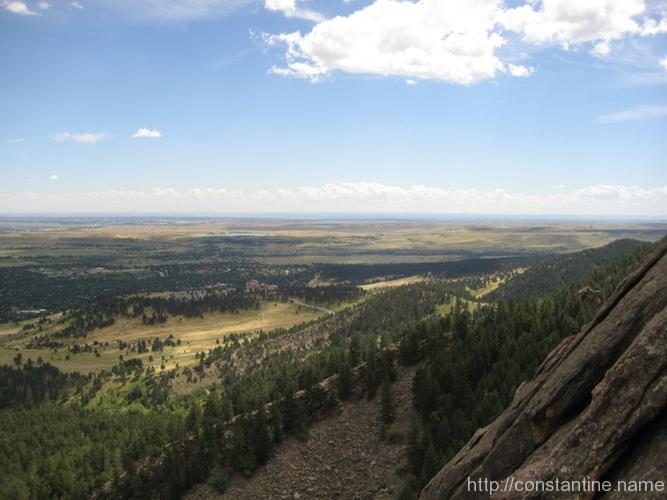
On August 23rd, I took a drive up Flagstaff Road. Spectacular views! Here’s a few more photos I selected as I’ve been filing photography.

ɕ
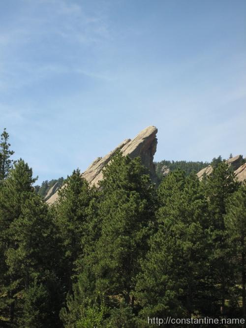
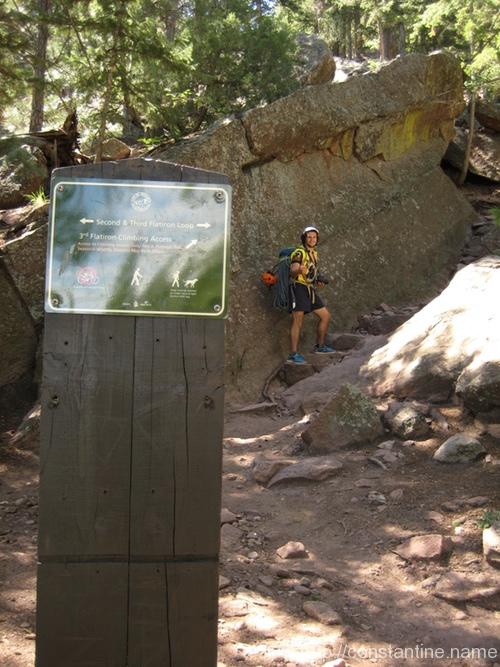
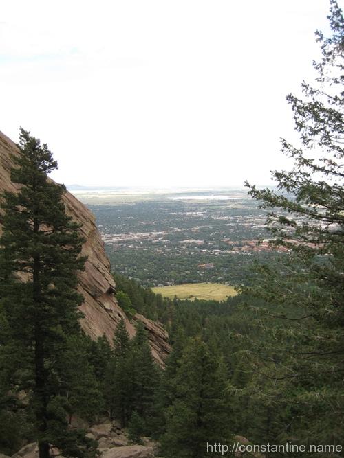
Our climb of the third Flatiron was leisurely enough that we took a lot of photographs. As I’ve been going through them, I’ve carved out a second set of must-see shots.
(There’s also my first Flatiron 3 post about the best beginner climb in the solar system.)
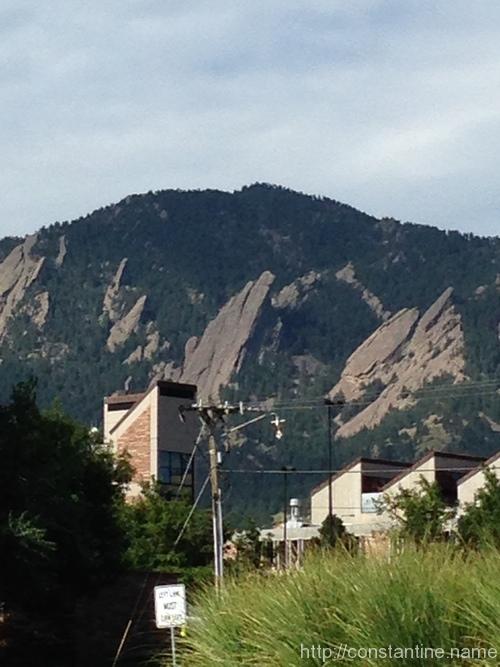
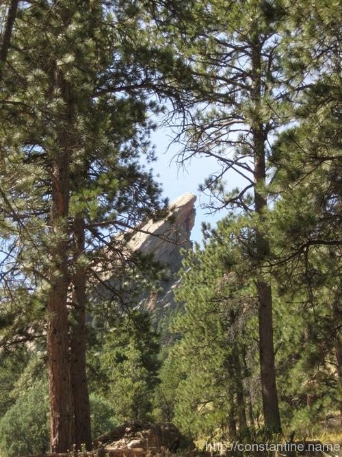
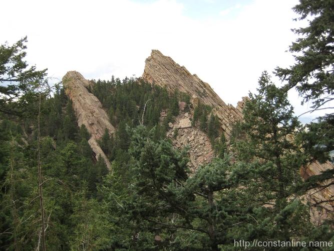
The Flatirons are just smack-dab right next to Boulder. Everywhere you go, the “front range” is just looming to the West. Sitting at Einstein Bro’s Bagels, the slabs of rock beckon tantalizingly close. Flatiron 3 is striking because the backside is exposed too, making the tip of the climb into an impressive prominence. (…and it makes for a wickedly fun, triple-rappel off the back too!)
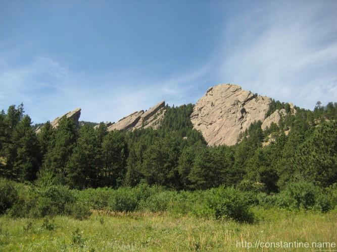
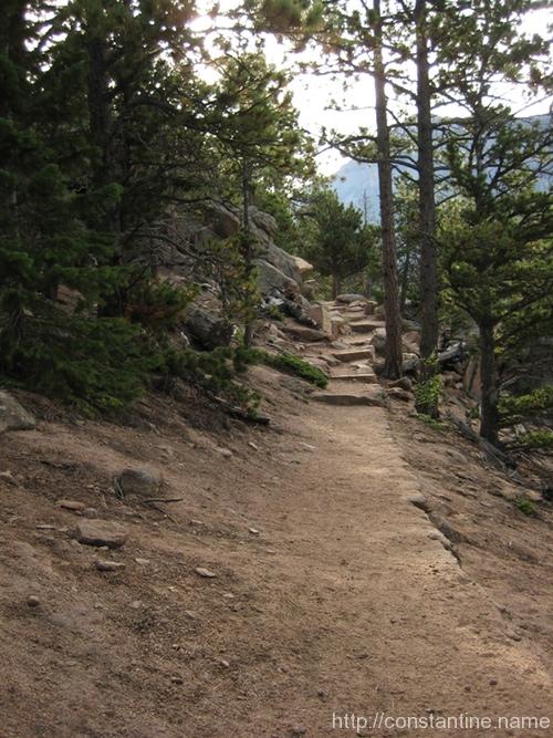
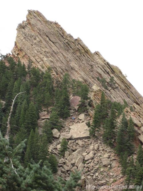
The approach is simply a beautiful, long, hiking trail. (Or as we took to joking, a trail for the “walkers.”) The lower parts of the trail are heavily trafficked, but the further you go, the more interesting the terrain gets. Eventually, Flatiron 3 starts peeking at you through the trees.

A few shots from the top… just taking in the view!
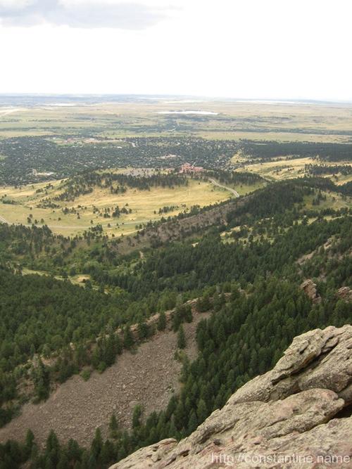
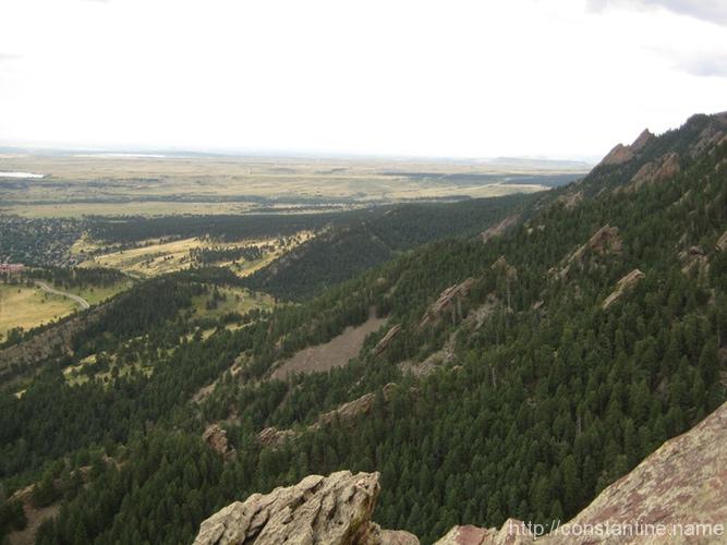
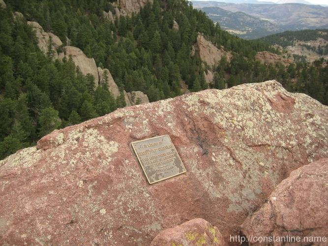
At the very top, there’s a comfy recess just behind the true summit. Mike got excited at the huge slab with the prominent crack system that is hidden behind the Flatiron. (If he’d had his way, we’d have trekked over there immediately after rappelling off the thing.) There’s also a commemorative plaque set in the rock. Beyond the plaque lie the Rocky Mountains!
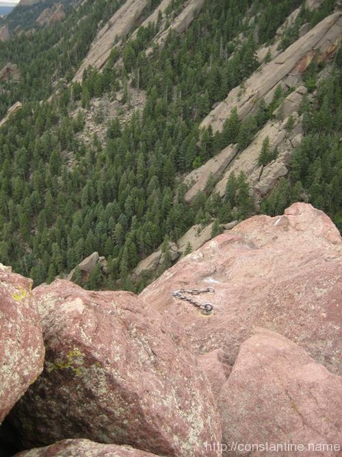
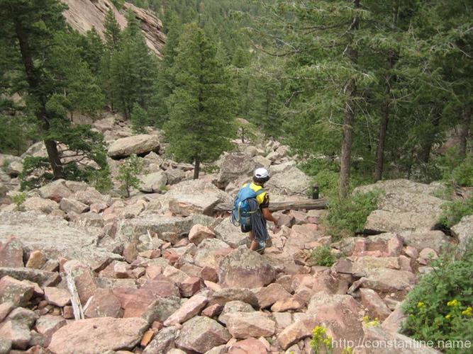
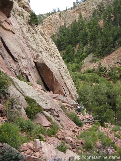
After you rappel, you “walk off” down a steep ravine filled with scree, between the 3rd and 2nd Flatirons. If you look closely in the first two photos, you can see “hikers” (or perhaps climbers walking off) on the rock to give you a feel for the scale.
ɕ
Weekend prep: Highland Park and ‘gar.
ɕ
We were in Eldorado Canyon on three separate days. These photos are from Wednesday the 20th, when we went in to climb the Wind Ridge route on the Wind Tower. As you approach Eldorado Canyon, you’re driving into the “front range”. You leave the Flatirons to your right, and wind your way into the canyon.
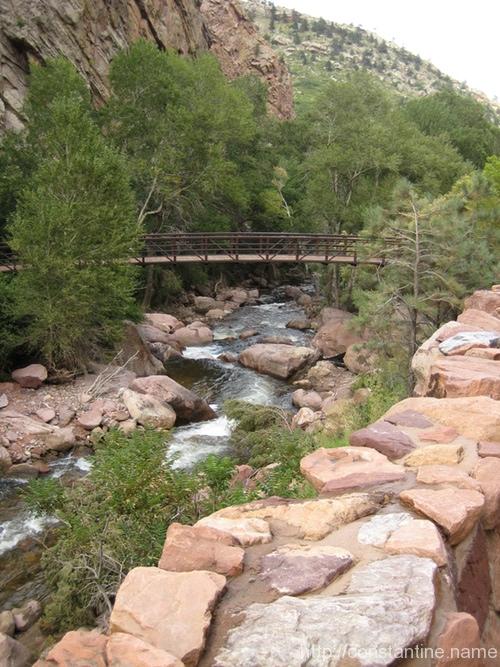
Once you get inside the Eldorado Canyon State Park, there’s world class climbing just jammed everywhere. Just inside the park is a foot bridge that leads to the south side climbing, and the Bastile is just a few paces up the road.
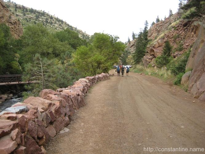
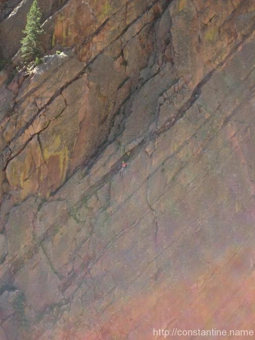
Climbers are always on the Bastile. At the bottom, they’re basically standing in the [dirt] road. But, you can see them from various other places in Eldo. Here, I took a pause climbing to get the camera out and snapped these photos across the canyon.
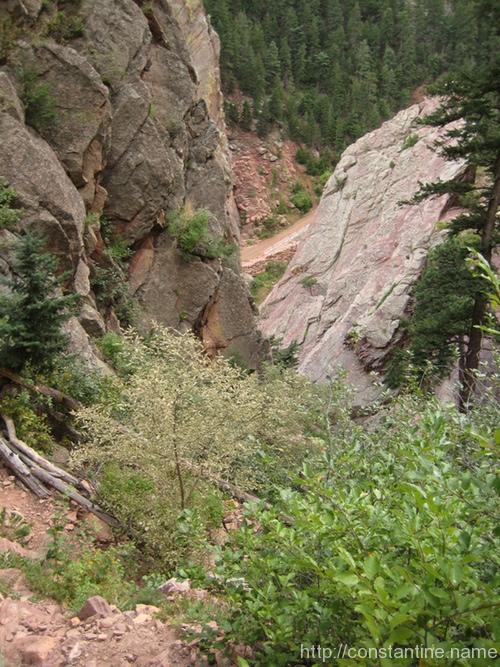
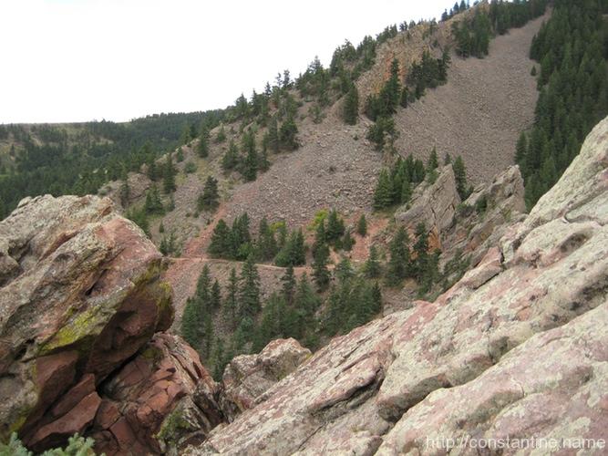
From the Wind Tower you get a better sense of the size and layout of the canyon. This first photo is taken while walking off after the climb. So we’re descending and heading back towards the creek and road. The second photo is from the very top of the Wind Tower, looking across the canyon (the road and creek, in the bottom of the canyon, are not visible.)
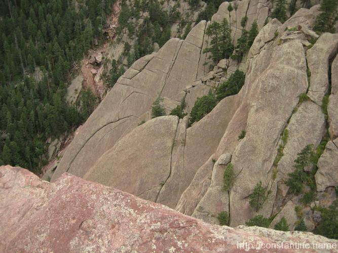
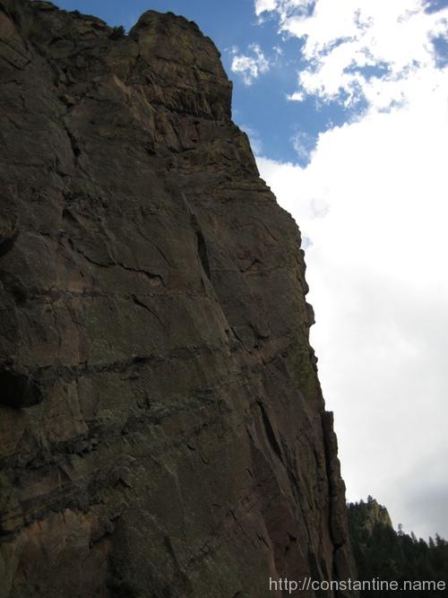
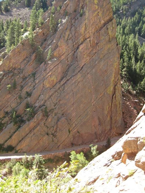
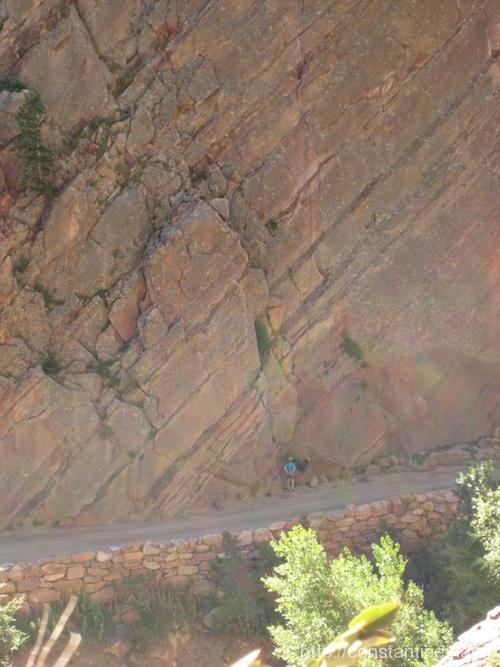
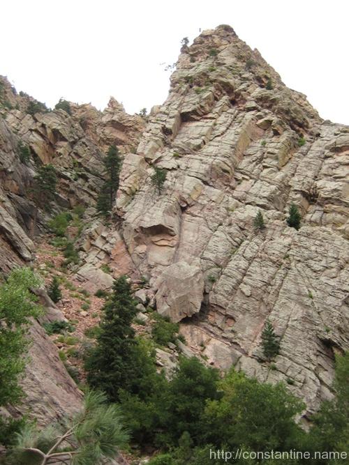
Finally, some views of the Wind Tower itself. As you enter the canyon, it is on the right — the lighter colored mass. The slightly darker rock, on the left, is another feature, with a trail snaking up between them into a high ravine. To get a sense of the scale, note the huge flake of stone that has slid off the tower.

ɕ
ɕ