184 feet downrange! “worlds first liq propellant rocket” br R. Goddard.
ɕ
184 feet downrange! “worlds first liq propellant rocket” br R. Goddard.
ɕ

Goddard’s first rocket landed down there in the center of photo.
ɕ

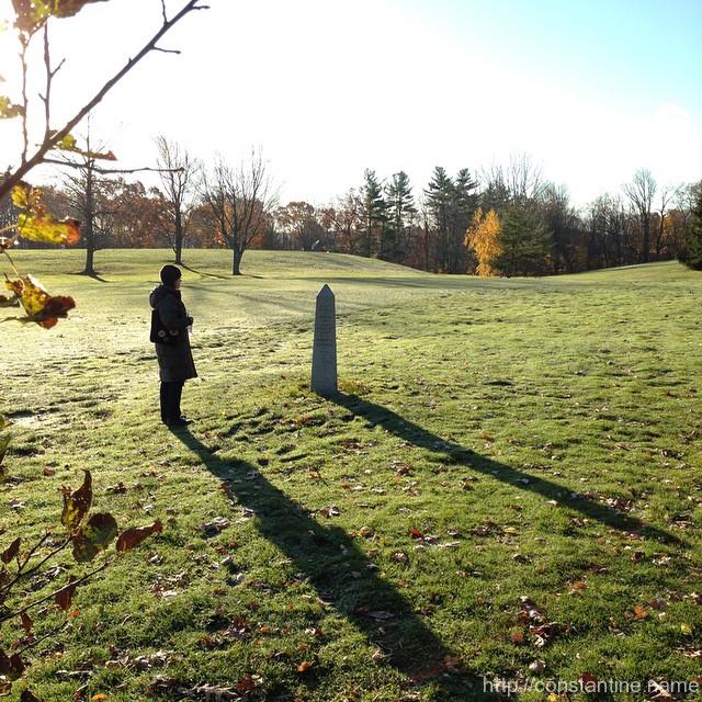
off to Boston to visit family, then Albany on Sunday for Parkour with Dylan!
ɕ
No man stands so tall as when he stoops to help a child.
~ Abraham Lincoln
slip:4a93.
Be strong to be useful! #parkour #winterIsComing
ɕ
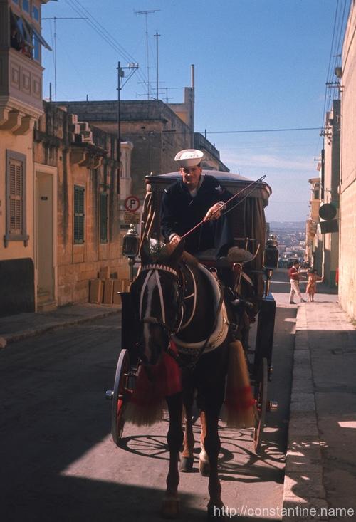
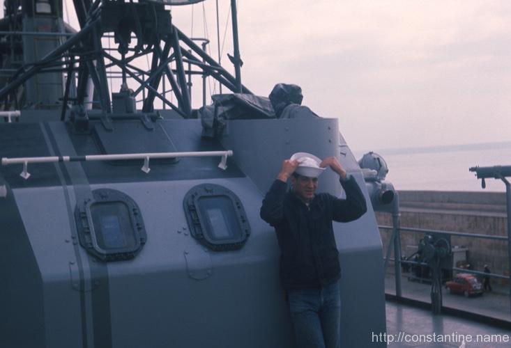
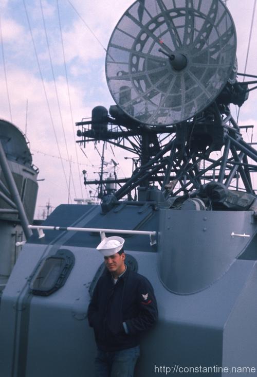
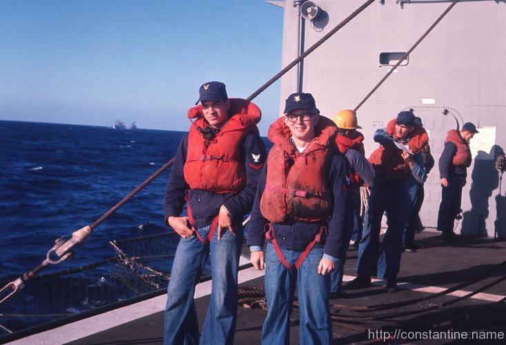
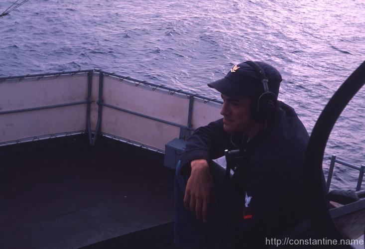
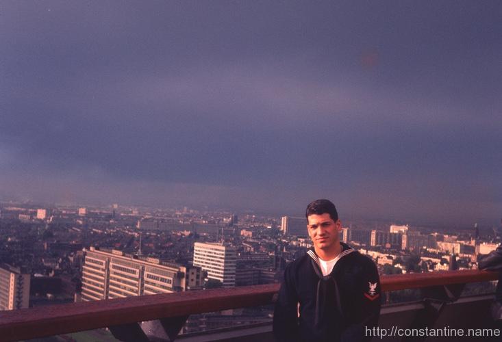
Apropos of Veterans Day, here’s a dozen 35mm slides my father took in the North Atlantic and Mediterranean in 1965.


ɕ
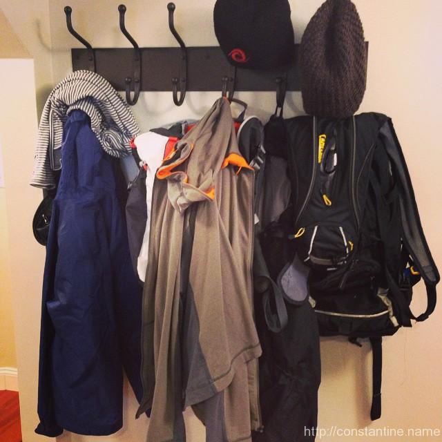
ready for the next adventure
ɕ
Positive thoughts are not enough.
~ unknown
There have to be positive feelings and positive actions.
slip:4a54.
Waste no more time arguing what a good man should be. Be one.
~ Marcus Aurelius
slip:4a194.
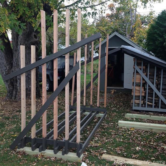
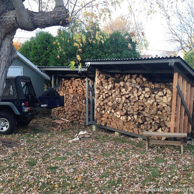
More firewood storage under construction
ɕ